Hello,
I am trying to add an overlay on my map that will allow me to display tile images beyond the 19/20 level.https://ibali.uct.ac.za/s/trees/page/map
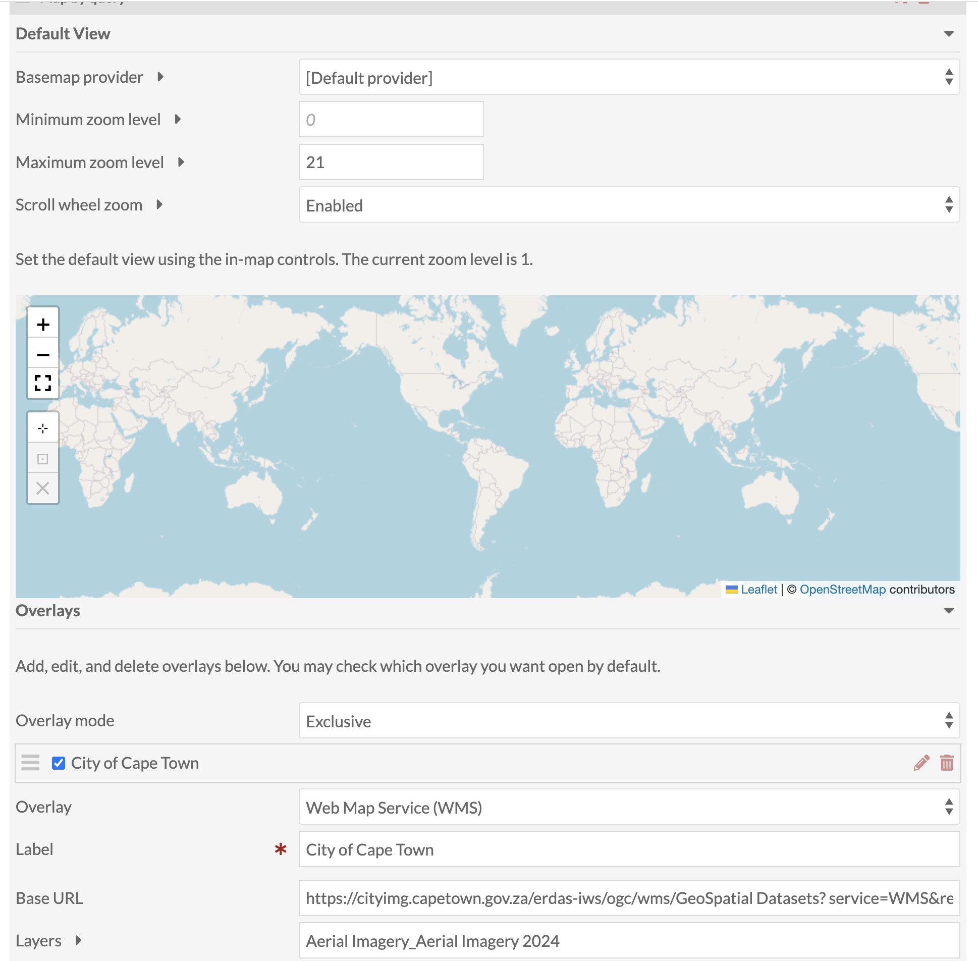
I found an overlay that has such a capability for our particular city:https://cityimg.capetown.gov.za/erdas-iws/esri/GeoSpatial%20Datasets/rest/services/ )https://cityimg.capetown.gov.za/erdas-iws/ogc/wms/GeoSpatial Datasets? service=WMS&request=getcapabilities](https://cityimg.capetown.gov.za/erdas-iws/ogc/wms/GeoSpatial Datasets? service=WMS&request=getcapabilities).
However it seems like at zoom level 18 it just disappears and it defaults back to my basemap (which still has tiles, but then also loses them past level 19). Through using the same connection on QGIS i can see that the overlay has the tiles for a greater zoom level, so I wanted to know what I might be doing wrong to not have it display via the Map module and leaflet?
Thank you,
I think the issue here is probably that Leaflet has 18 as the default maxZoom for these layers, and we don’t override that.
I’m not 100% sure if the best solution is to just set the maxZoom default to something higher for WMS layers, or expose the max for users to set.
There’s a fix in the next release (no ETA). In the meantime you could edit a file in the module to fix it yourself. Open this file:
modules/Mapping/asset/js/mapping-block.js
And change this:
overlayLayer = L.tileLayer.wms(overlayData.base_url, {
    layers: overlayData.layers,
    styles: overlayData.styles,
    format: 'image/png',
    transparent: true
});
To this:
overlayLayer = L.tileLayer.wms(overlayData.base_url, {
    layers: overlayData.layers,
    styles: overlayData.styles,
    format: 'image/png',
    transparent: true,
    maxZoom: 30,
});
Dear @jflatnes and @jimsafley ,
thanks so much for taking the time to respond. @jimsafley , your code addition worked beautifully. Thanks so much.
system
April 17, 2026, 6:26am
5
This topic was automatically closed 360 days after the last reply. New replies are no longer allowed.